
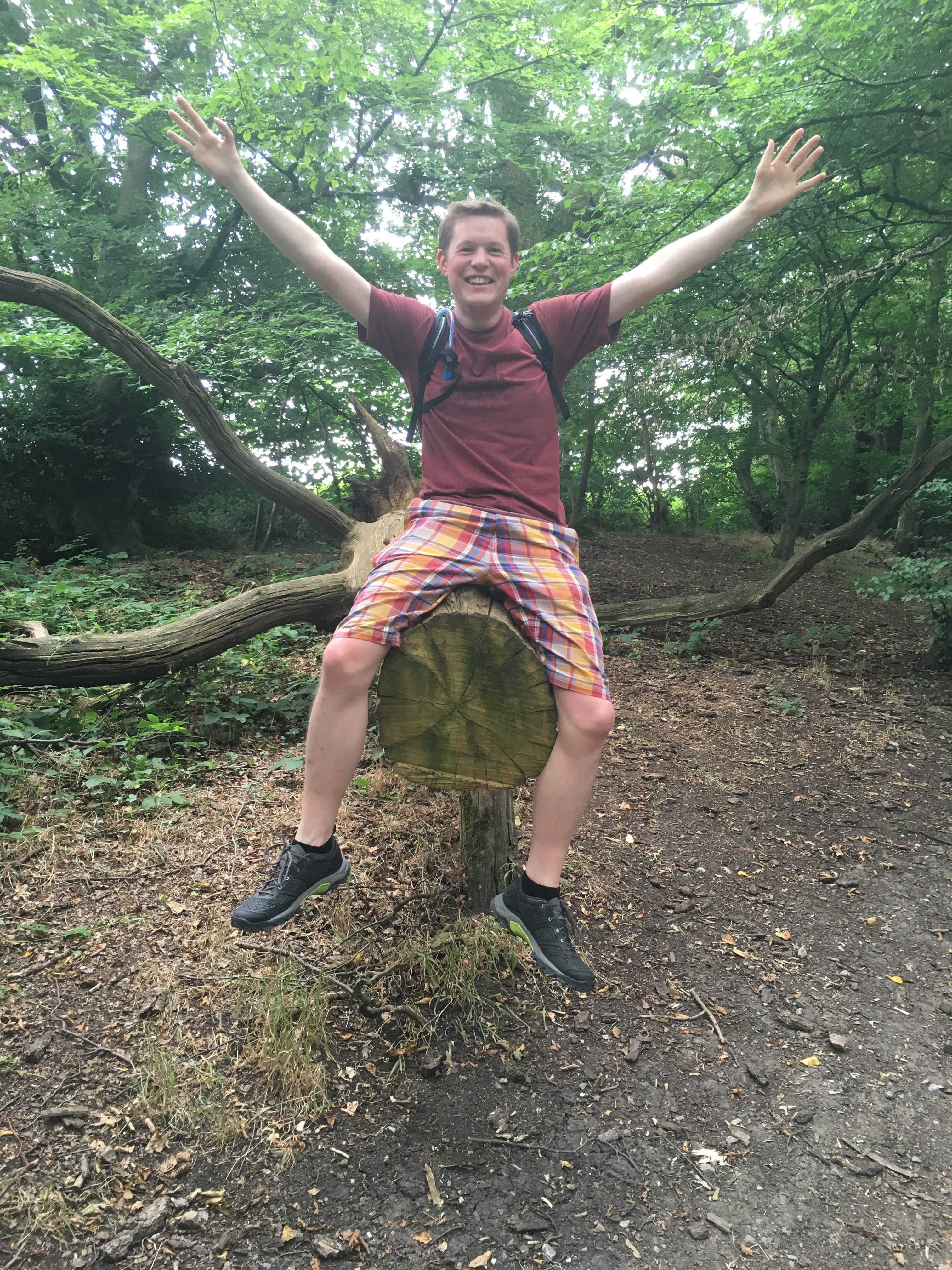
LOOP XXIV - Rainham to Purfleet
★★☆☆☆
Hardly stopping to catch breath at Rainham station we cross a huge pedestrian bridge where we're almost immediately greeted by some of the most urban of all urban green areas we've encountered on the LOOP.
It's a very 'safe' and easy part of the route - very little chance of getting lost, for a change. There's a path which is well sign-posted throughout.
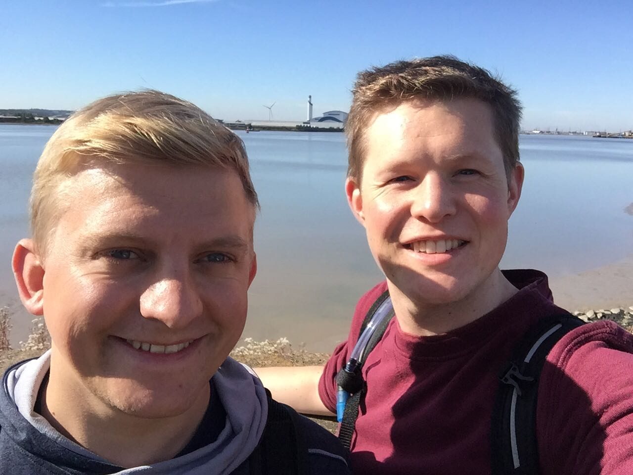
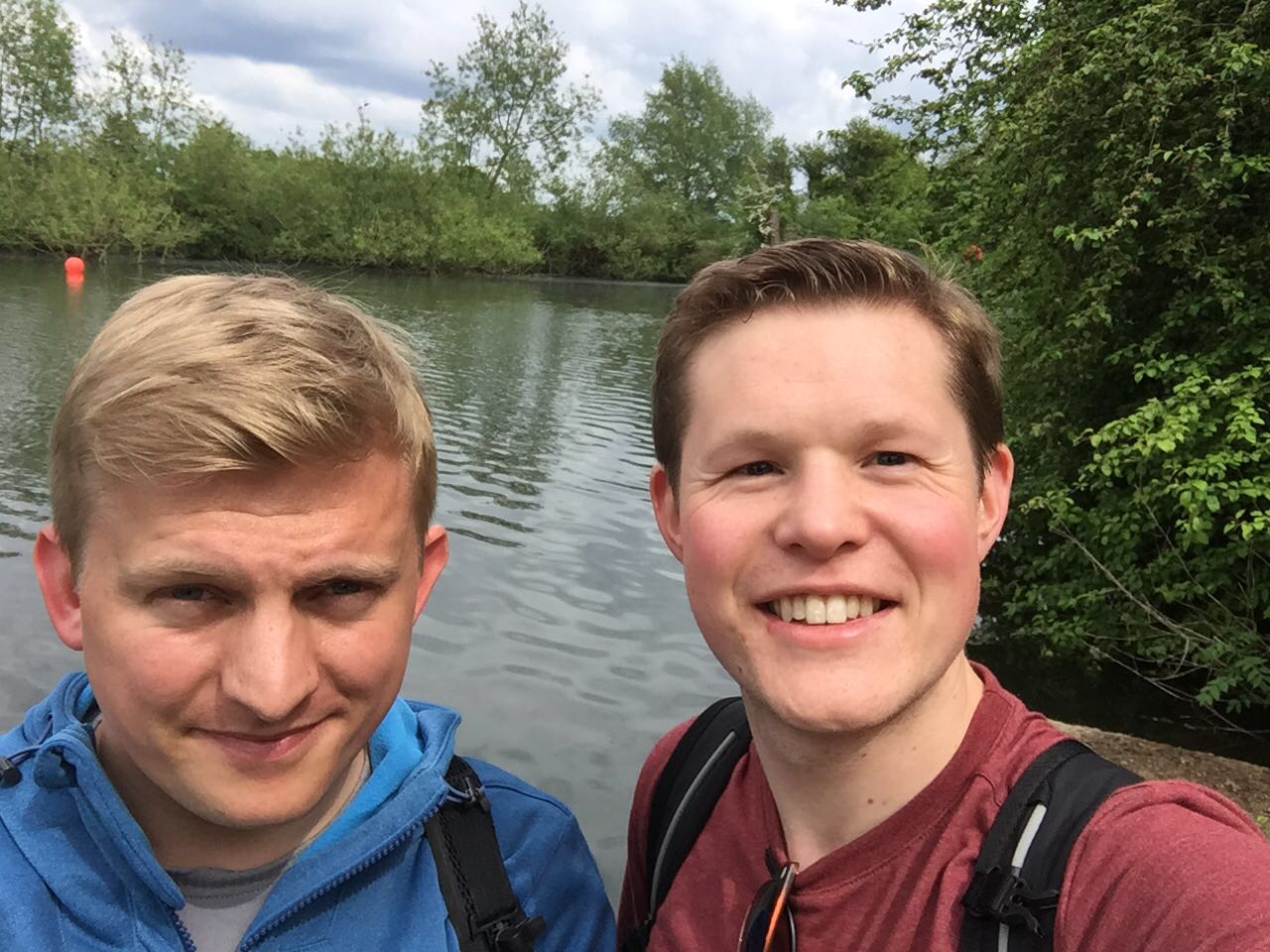
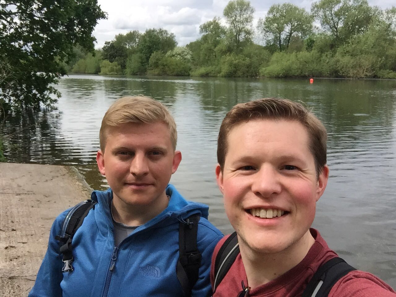
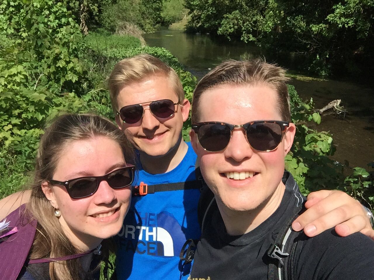
When we finally meet the Thames it was something of a shock - I'd not realised we were so close until we were actually on the concrete flood defence wall. Our final water-selfie, with Erith in the background, of course followed.
The marshes themselves aren't remarkable for their beauty but I trust that they've a very wide range of birdlife to make them worthwhile and of interest. Personally I giggle at the twitchers' excited expressions as they emerge from the RSPB café clutching frightfully expensive looking binoculars and cameras.
It's decidedly remote and somewhat bleak around this part of the river - a far cry from our last encounter with London's river at Kingston where the banks of the river are about as crowded as can be. Much of the riverbank here consists of mudbanks but there's a neat, if basic, path to guide along the promenade. We stop for a couple of final LOOP GCs - one of which took us a long time as it was hidden underneath a metal jetty - obliging us to climb down underneath it.
We were necessarily hurrying since we were both on tight schedules.
As a consequence we have had to postpone our well-earned and eagerly anticipated celebration drinks and didn't even have lunch.
A nice, easy final leg of a very enjoyable 24-part circumnavigation of London. And that's a wrap!
Highlights
Meeting The Thames for the forth and final time on our journey.
Seeing Erith (where our trip had begun) which is marginally more tolerable to the eye for being separated by the distance of the river's width.
The wetlands (largest in the Thames Estuary apparently) at Rainham Marshes.
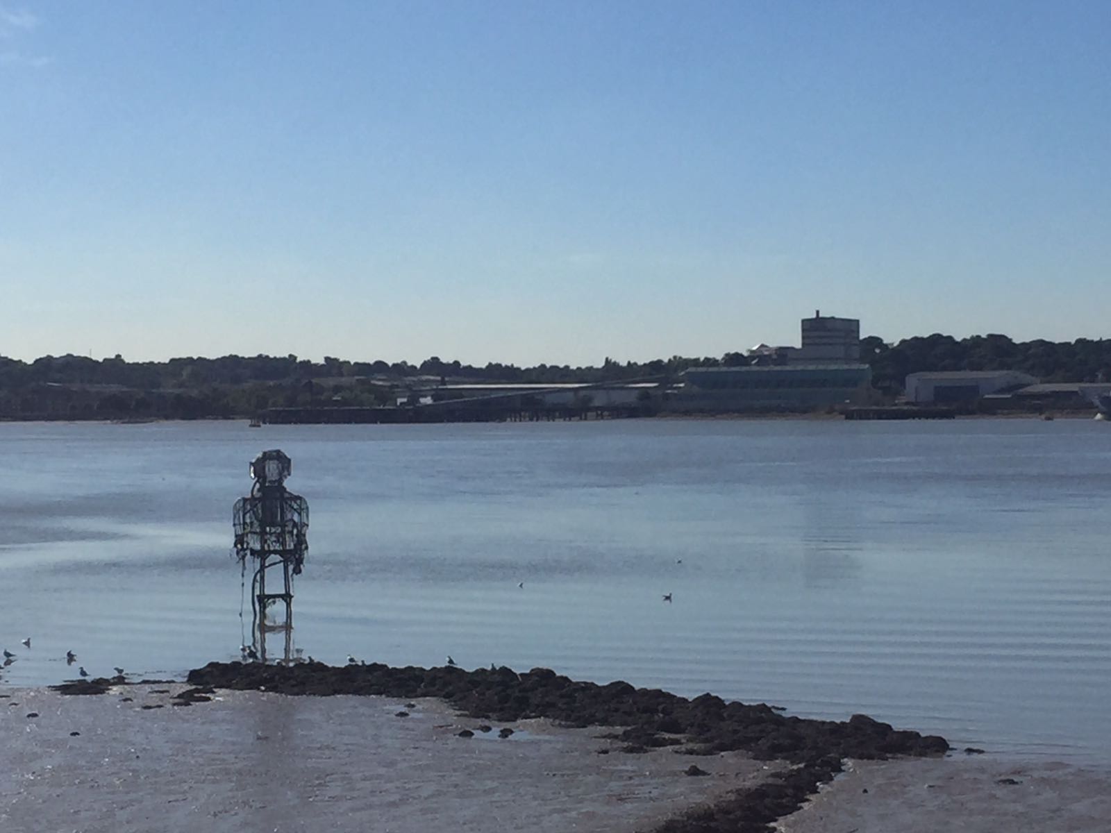
The WWII concrete barges (which had been used to support the D-Day landings by forming a Mulberry Harbour) which are nowadays abandoned on the mudbanks along with The Diver, a curiously positioned wading sculpture at Coldharbour.
Low Points
The atrocious smell of the Veola landfill site just next to Rainham Marshes along with the flying insects the smell attracted. Little wonder there were few joining us on the pathway.
Participants
SW, L1
Stats
8.42 km Walk | Duration: 1:43:24 | Pace: 12.3 min/km
View on MapMyHike: LOOP XXIV
Map
LOOP XVI - Elstree to Cockfosters
★★★★☆
The longest section in the LOOP and the first after a short break. The guidebook set expectations low with grumbles of road-side walking. Actually this was one of my favourite sections - very varied spaces rewardingly reached after some pleasant climbs over rolling hills. Perhaps lacking only in a few more points of interest along the way.
Highlights
The absolutely delightful Hadley Green. Charming pub, lovely houses and a pleasant green spaces.
Low Points
A 1.2km section walking down the A1 and then back again.
Participants
SW, L1
Stats
View on MapMyHike:
Map
LOOP XIV - Moor Park to Hatch End
★★★☆☆
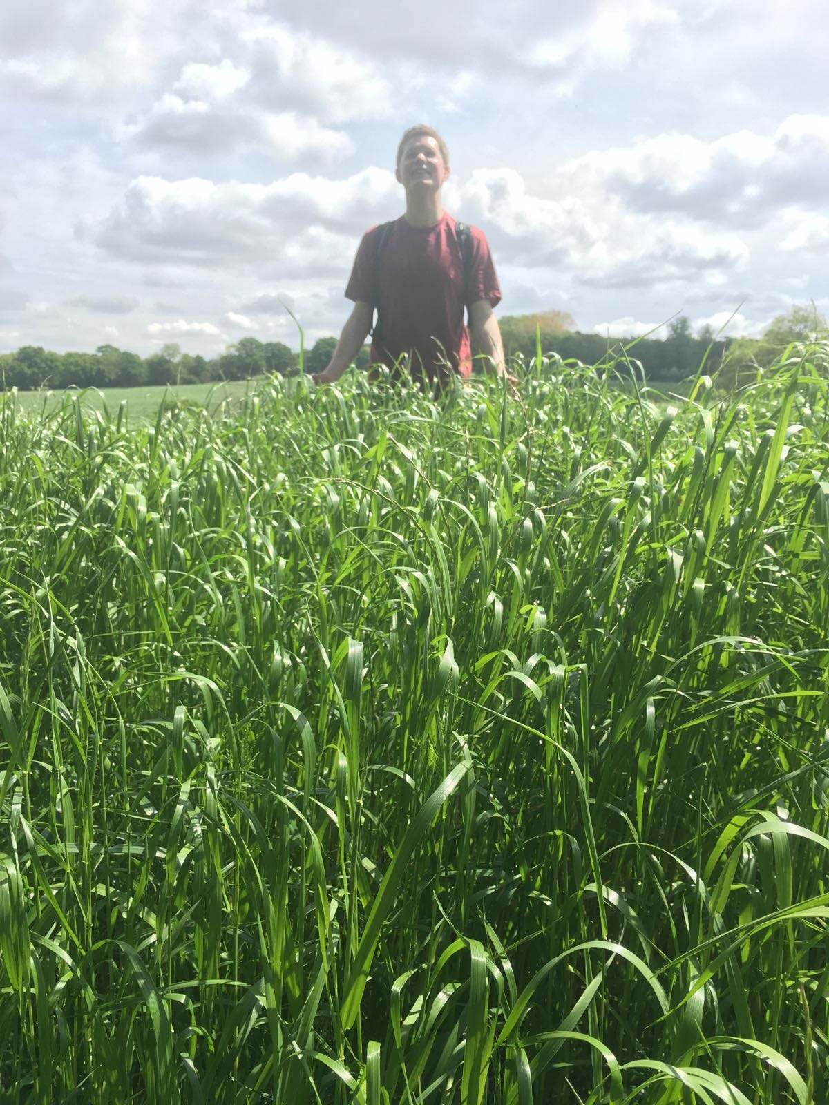
Rolling hills covered in meadows and forests all surprisingly close to urban centres: what the LOOP is all about. A little muddier and hillier than our pre-lunch amble and much of it under the cover of trees. A humid day tired us out more quickly than usual. The dire state of the Wetherspoon's pub and its clientele did little to help us relax at the end of our day. Happily we made it to the safety of the bar just as the rain began.
Highlights
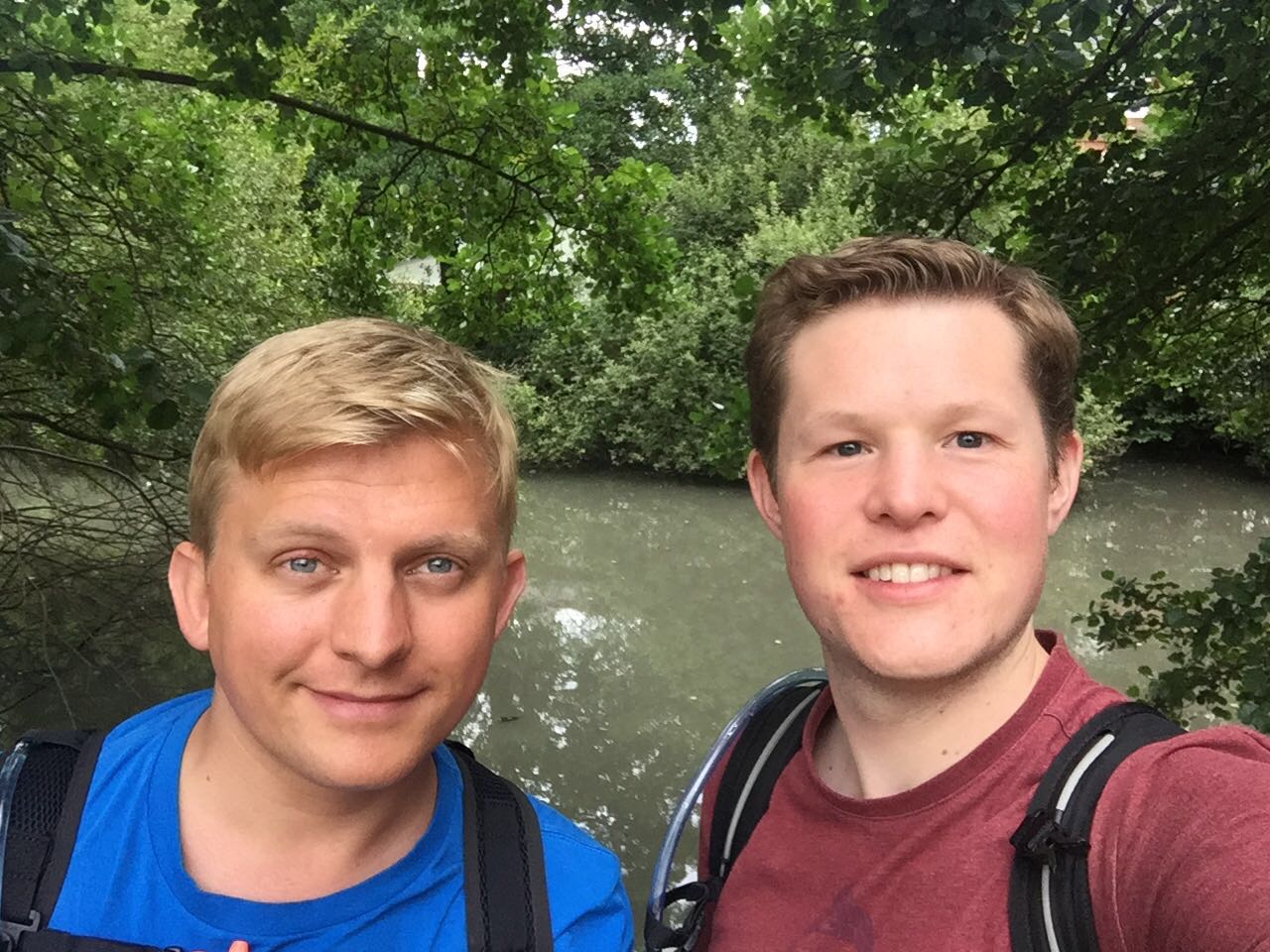
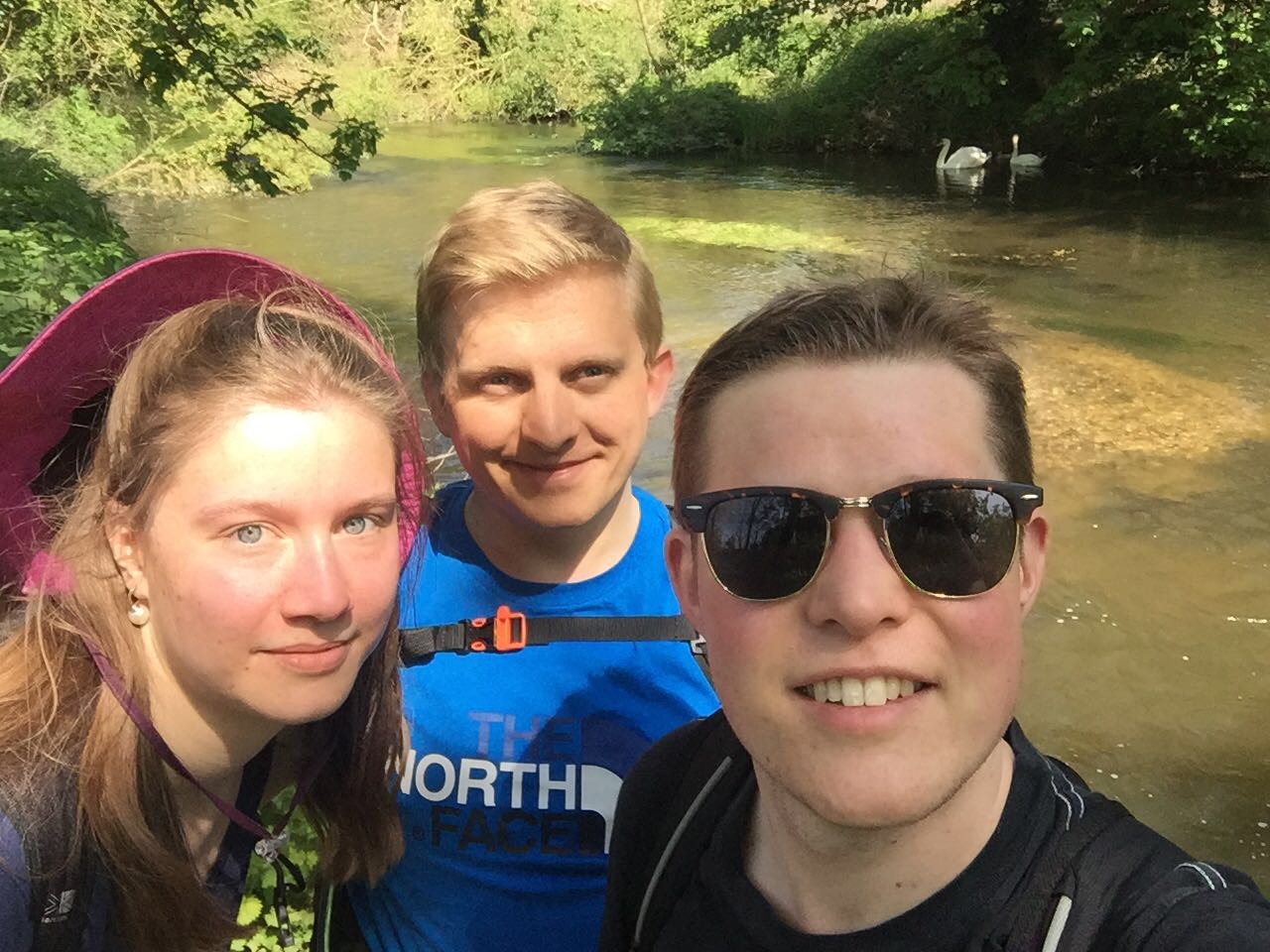
A brief visit to L1's old school, set in charming grounds where lakes affording us our only (decent) water-based selfie of the day.
Low Points
A couple of cow-pat covered fields abundant with midges!
Participants
SW, L1
Stats
10.25 km Walk | Duration: 2:04:35 | Pace: 12.1 min/km
View on MapMyHike: LOOP XIV
Map
LOOP XIII - West Harefield to Moor Park
★★★☆☆ - ★★★★☆
Extremely pleasant and very picturesque walk, well sign-posted and mostly flat.
Even though it had been raining a fair bit for days before our walk we were relieved to find the paths mostly dry.
Not a very interesting route - historically not much going on. Great walk for scenery.
Highlights
All really very pretty so a cultural highlight was the story about Dick Turpin running away from the pub we had lunch at.
Low Points
Getting to and from West Harefield isn't fun on a Sunday.
Participants
SW, L1
Lunch
Ye Olde Greene Manne
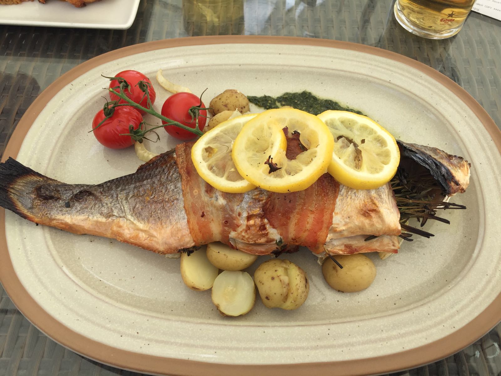
★★★☆☆ L1 had an excellent, whole, sea bass stuffed with thyme. It was perfectly cooked, tasted and smelt delicious. Full marks for that. I took the Sunday Roast Platter - Turkey, Beef and Pork roast dinner. The Turkey was fine. The beef was awful (tough, dry and tasteless) and the pork wasn't tolerable.
Stats
6.27 km Walk | Duration: 1:44:04 | Pace: 16.6 min/km
View on MapMyHike: LOOP XIII
Buggerd-up the mapping but the stats should be accurate.
Map
LOOP XI - Hayes and Harlington to Uxbridge
★★★★☆
A mostly water-side walk, much of it alongside the Grand Union Canal and various nature reserves and reservoirs of the Colne Valley Regional Park. Especially sunny day didn't stop us keeping a respectable and steady pace. Very flat not especially challenging.
Highlights
Black Jack's Mill and surrounds were especially charming.
Expansive lakes and reservoirs, especially around broadwater.
Low Points
Very minor urban stint through an ugly / dated business park at Yiewsley / West Drayton.
Participants
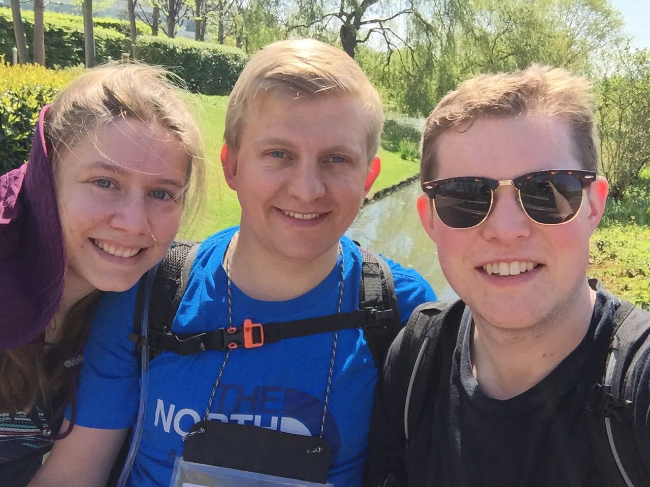
SW, L1, Noémie
Lunch
The General Elliot
★★★☆☆ Plain and satisfactory traditional pub well located next to the canal. Standard pub-grub served (after a pre-warned 45 minute wait) by friendly if disorganised staff. Clean facilities, unusually wide variety of condiments.
Stats
12.17 km Walk | Duration: 3:49:08 | Pace: 10.7 min/km
View on Map My Hike: LOOP XI
Map
LOOP I - Erith to Old Bexley
★☆☆☆☆
A lot of muddiness and mostly dull landscapes made for a not particularly interesting introduction to LOOP'ing. The dire state of Erith and the light industry which surrounds it was genuinely a shock to see so close to the capital. We made OK time considering we engaged in a lot of geocaching. Since the route is ostensibly quite flat it wasn't too challenging a start for us.
Hall Place and associated gardens near the end of the section were a sight for (very) sore eyes. We diverted slightly from the normal route at Hall Place directly to Old Bexley as we couldn't find a way to go south across those gardens owing to a locked gate. We chose a bitterly cold and drizzly day for it but looking back this first section seemed somehow to suit to such weather.
Highlights
Hall Place was architecturally and historically interesting to read about and the gardens and countryside nearby were all very pleasant.
Low Points
Scrap, rubbish and recycling abound around the Dartford Marshes and offend in equal measure the senses of smell and sight.
The towns of Erith and Crayford were pretty grim - suffice to say that we shall't be returning to either in a hurry.
Participants
SW, L1
Lunch
Nando's, Crayford
★★★☆☆ Clearly very popular with locals this had not been our first choice and wasn't especially convenient for the route, since it required a slight deviation. Our brief visit was perfectly agreeable and of course the food, drinks, facilities and decor were all of Nando's usual standard.
Originally taking our lead from TFL's LOOP Guide we had tried to lunch at the really quite grim Bear and Ragged Staff (in Crayford) but finding it over-run with unruly children and unwelcoming staff we ditched our pints and declined to stay.
Stats
15.97 km | Duration: 3:57:22 | Pace: 14.9 min/km
View on Map My Hike: LOOP I
Map

